Carnet de Mission Rencontres : Philippe Dubois

Carnet de Mission Rencontres est un format complémentaire à Carnet de Mission qui vous présente plus en détails les protagonistes de l’aventure Kerguelens. Une ouverture sur les différentes vocations que l’on croise sur la route des Terres Australes Françaises !

Interview de Philippe Dubois.


Un coup d’oeil a la biodiversite des fonds marins Antarctiques

Que faisons-nous?

Nous sommes à bord du JCR, le James Clark Ross, un navire de recherche océanographique Britannique, qui doit son nom à un explorateur polaire Anglais.

JCR

Le James Clark Ross, a Signy Island. Photo: Bruno Danis

Le but de notre mission est de faire un inventaire, une liste, de tous les animaux qui vivent au fond de la mer (on les appelle les animaux benthiques), dans la région des Orcades du Sud. Ces îles se trouvent entre l’Amérique du Sud et la Péninsule Antarctique, et nous pensons que leur biodiversité doit être protégée. Pour cela, il est important de répertorier tous les animaux qui s’y trouvent (et beaucoup n’ont pas encore été décris), avec comme idée de pouvoir revenir plus tard pour un nouvel inventaire, qui permettra de déceler des changements dûs aux changements de l’environnement.

Comment faisons-nous?

Nous sommes dans une région qui a été relativement peu explorée. La seule manière d’inventorier les animaux qui nous intéresse est de les remonter à la surface. Nous utilisons pour cela des engins semblables à ceux qui sont utilisés par les pêcheurs, mais beaucoup plus petits, pour éviter d’abîmer les fonds. Nous utilisons notamment un AGT (Agassiz Trawl – Chalut Agassiz, du nom de son inventeur) et un traîneau EBS (Epibenthic sledge), qui permet de récolter les animaux qui sont près du fond. Avant de lancer les engins de récolte, nous “scannons” le fond, à l’aide d’un SWATH (qui permet d’avoir une image 3D du fond, très précise), qui fonctionne sur le principe de l’écholocalisation, comme les dauphins ou les chauve-souris… Nous utilisons ensuite une caméra benthique, qui nous permet de prendre de belles photos du fond. Une fois certains que les conditions sont réunies, nous déployons les engins depuis le pont arrière, et déroulons les cables pour atteindre des profondeurs de 500, 750, 1000, 1500 et 2000 m.

Swath3-300x233

Capture d’ecran du SWATH en action. Les couleurs sont proportionnelles a la profondeur (bleu: plus profond; rouge: moins profond). Photo: Louise Allcock.

Nous remontons ensuite les engins et trions et identifions tous les animaux, ce qui représente un travail très intense, que nous réalisons en équipe.

AGT

Lancement du chalut Agassiz depuis le pont arriere du JCR. Photo: Bruno Danis

Tri des echantillons

Une fois a bord, les echantillons sont tries dans le “WetLab”. Photo: Richard Turner

Qu’avons nous trouvé jusqu’ici?

Nous sommes à la moitié de l’expédition, et les différents endroits où nous avons travaillé (que l’on appelle des stations) montrent une diversité très différente. Certaines stations sont relativement pauvres en animaux, mais d’autres sont très riches, et nous avons probablement déjà récolté un nombre important de nouvelles espèces! Ce que nous accumulons comme information devra nous permettre de bien choisir les endroits qui doivent être protégés.

Biodiversity

Quelques animaux recoltes au cours de la campagne. Photos: Claudio Ghiglione, Camille Moreau, Helena Wiklund, Cath Waller


Pour en savoir plus… suivez le hashtag #SoAntEco sur Twitter


The White Island Blitz

Seawater of the Future?


This post is a press release from the University of Otago related to White Island expedition, to which the Marine Biology Lab of the ULB is participating.

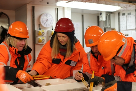
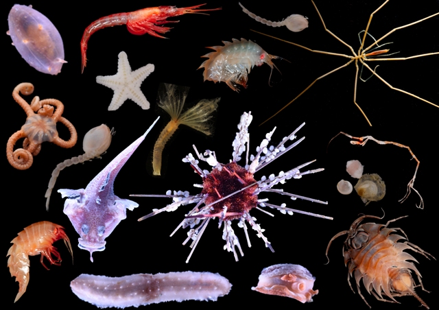
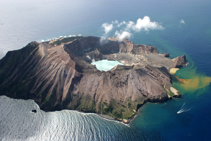
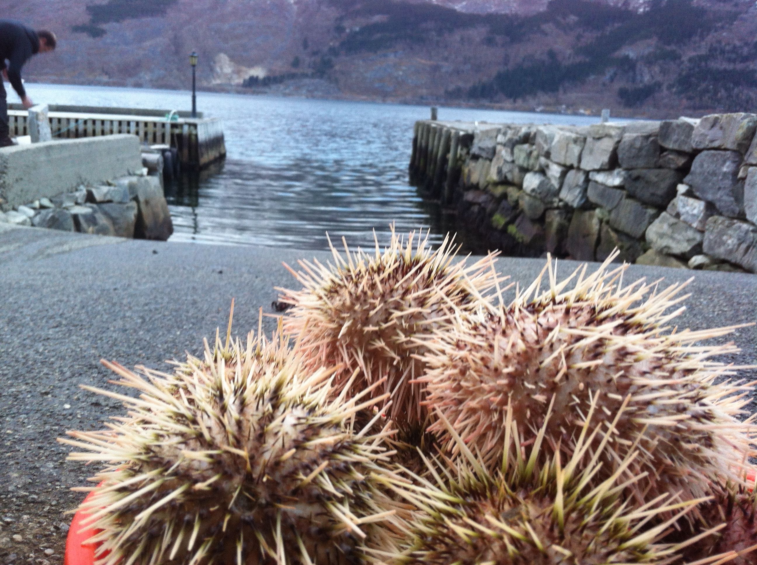
In the first week of December a team of scientists [including Antonio Agüera] from all over the world will descend on Whakatane in the Bay of Plenty. These chemists, biologists, geologists, botanists and marine scientists are planning a “blitz” on the nearby marine volcano: Whakaari or White Island. Their aim: to find out as much as they can about the currents, the water, the algae, and the marine animals as they can in one week. White Island is special because the volcano heats up the water and bubbles carbon dioxide into it, through vents on the flanks of the volcano. This creates a marine environment that is warmer and more acidic than “normal” seawater – the kind of environment that we can expect to see as CO2 in the air is absorbed by the oceans over the next several decades. In effect, it creates Seawater-of-the-Future.

Scientists have been looking at the effects of warming and acidification on plant, animals and even ecosystems in the lab, but there are serious limitations to that kind of study. Having a real-life lab, where animals and plants have lived their whole lives in Seawater-of-the-Future, makes a big difference.

“We need to know more about how this kind of environment varies over time,” says expedition leader Dr. Abby Smith. “We hope to find out where the water is warmest, and where the bubbles make the water the most acid. This work will form the baseline for further studies, and allow scientists to plan their studies better. The best way to find out more about White Island is for us to go there all together.”

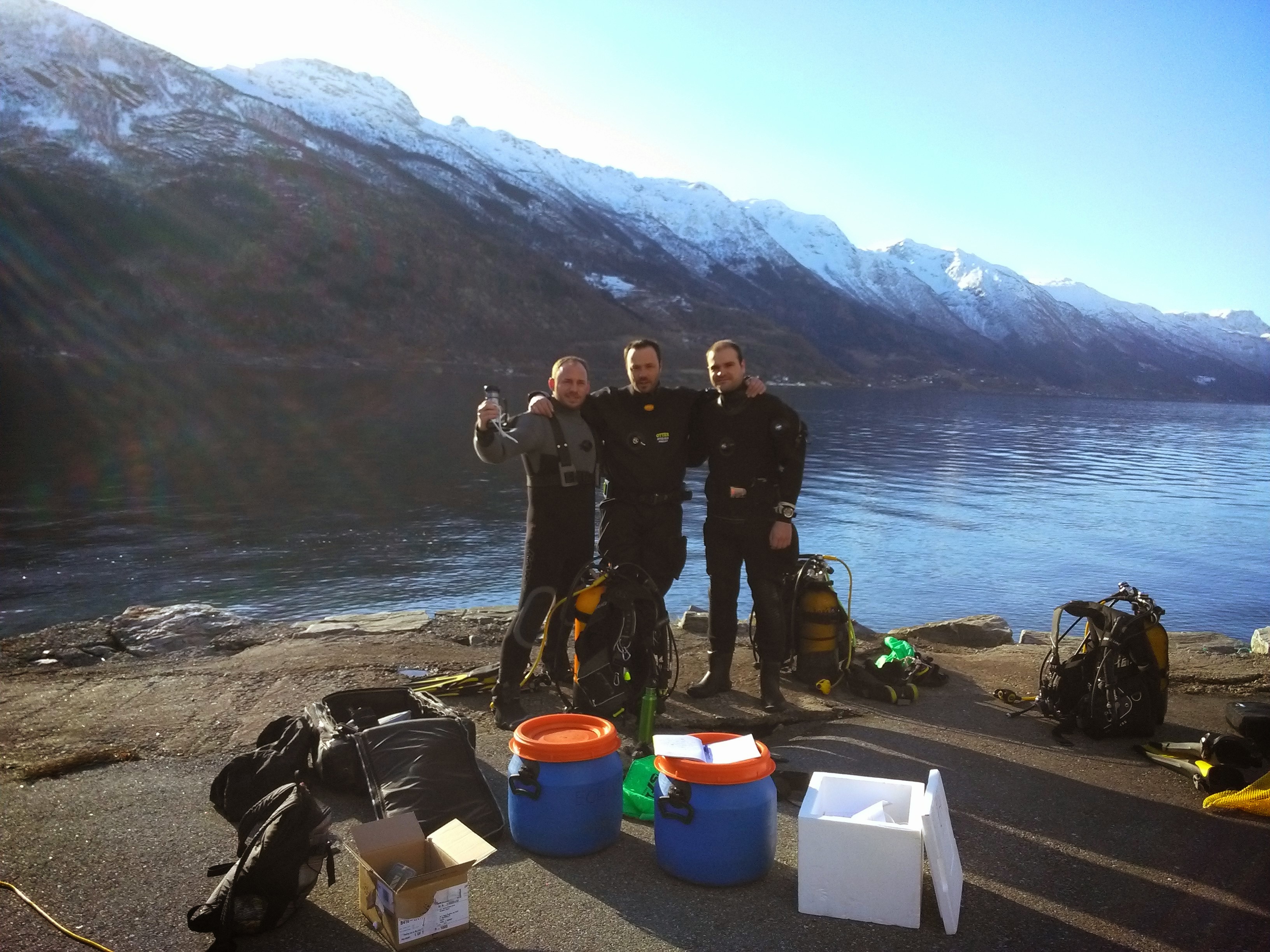
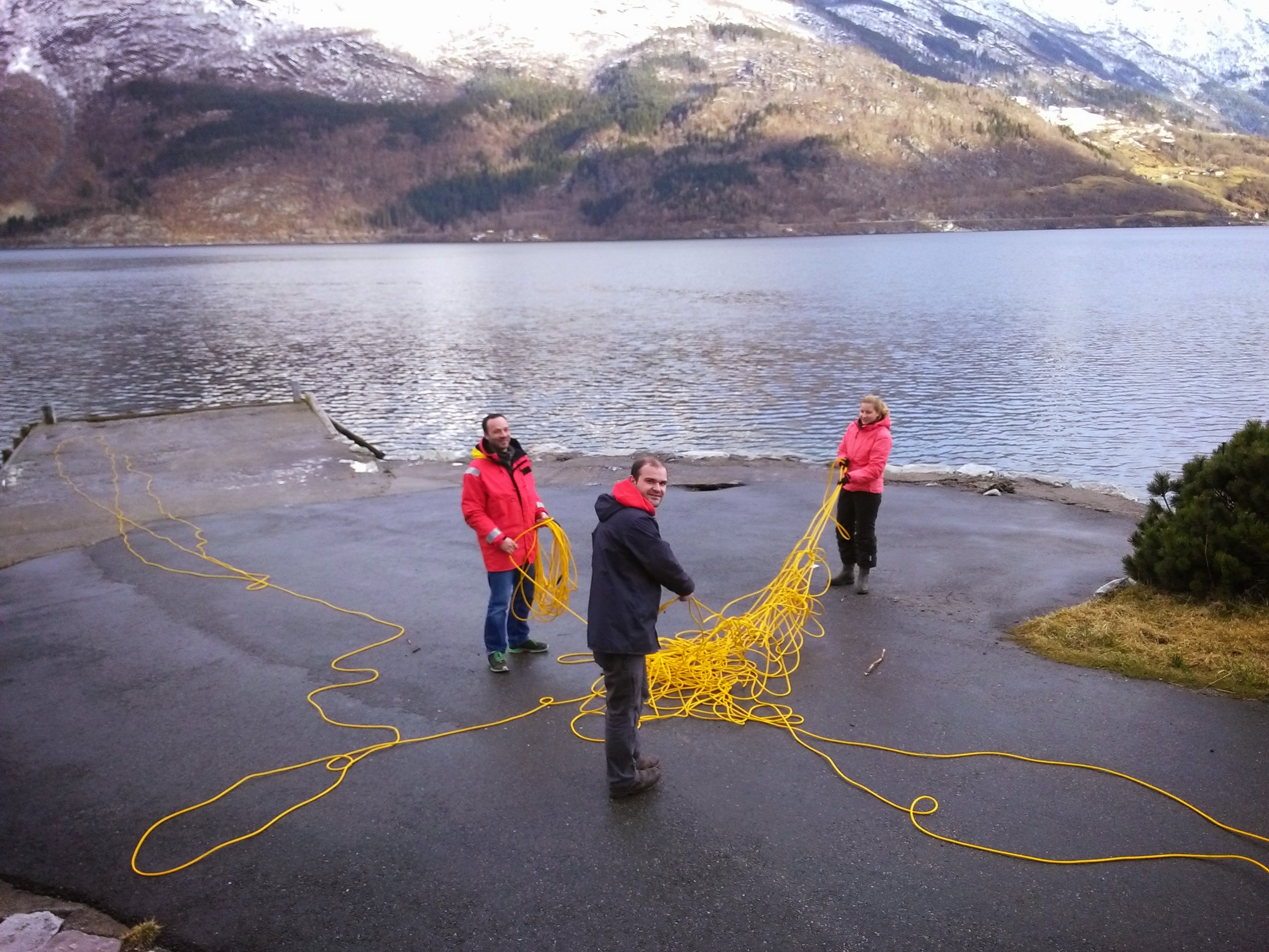
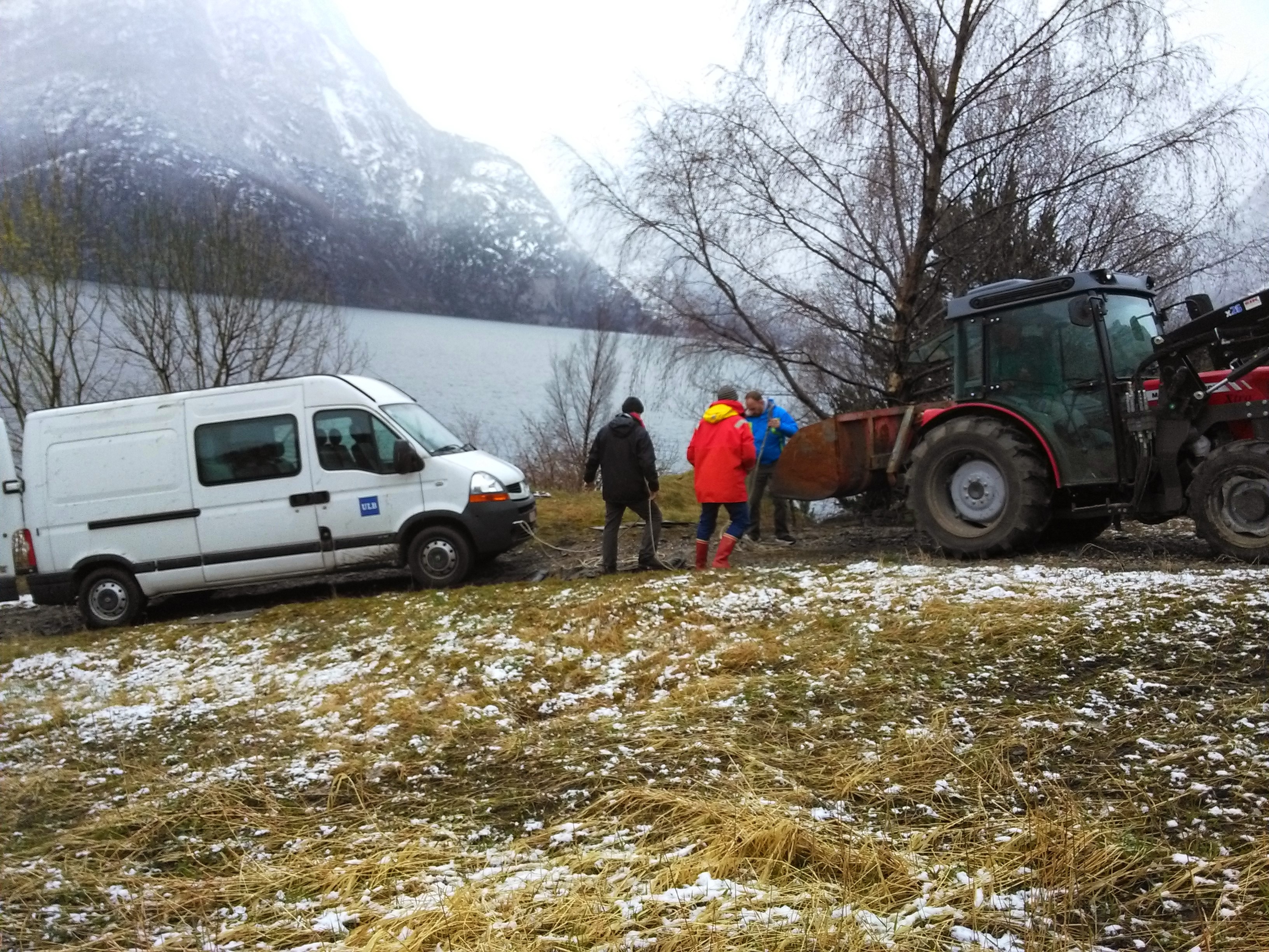
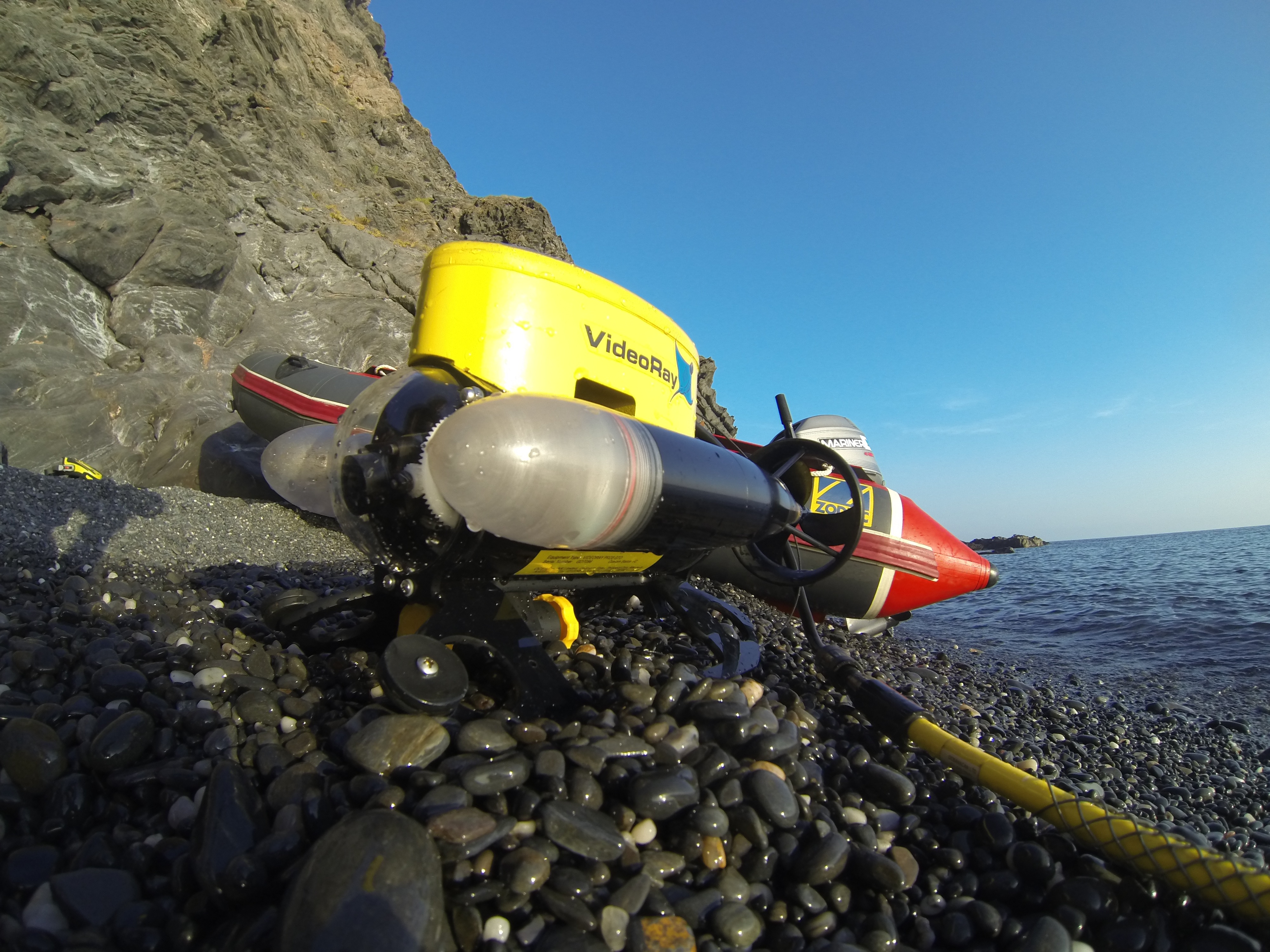
The White Island Blitz is being organised through the University of Otago Ocean Acidification Research Theme. Most of the 17 scientists who are coming along are from University of Otago or from the University of Auckland, but there are participants from Australia, Belgium, and the UK as well. This scientific expedition will take place in the first week of December, with fishing boats, divers, snorkelers, and a variety of equipment and samplers going out 48 km offshore to White Island for four days.

On Monday November 30 the Whakatane community and media will have a chance to meet the scientists and hear more about the expedition. And throughout the week a community engagement programme will invite locals, including tourism operators, teachers, and school children to learn more about their marine environment.

For further information contact, [or contact us directly]:

Associate Professor Abby Smith, Department of Marine Science, University of Otago

Chief Scientist of Expedition

Abby.smith@otago.ac.nz

Sally Carson, Department of Marine Science, University of Otago

Community Engagement Coordinator for Expedition

Sally.carson@otago.ac.nz

Back from the Sørfjord

We’re just back from the Sørfjord, Norway, where we collected a series of samples to monitor the contamination status, and to carry out acidification experiments.

Our teams have been working in the Sørfjord since 1995. The fjord is located in South-West Norway and has two ore smelters at its head. The location is an exceptionally contaminated area, where discharges (Cd, Zn, Cu, Hg, Pb) from metallurgical industry have occurred for more than 80 years. During the mission, we collected sediments, starfish and sea urchins at sites close to each smelter (sites Sl and S2), further downstream (site S3) and outside of the contaminated fjord (site S4). We are now processing the samples to determine the levels of metals in various grain-size fractions from the sediments and different body compartments of the echinoderms.

The sea urchin we sampled in the fjord

The sea urchin we sampled in the fjord

In parallel, we have carried out a series of tests with our ROV, to ground-truth its usage in the field for habitat mapping and characterisation of benthic communities. This allows us to be ready for field work in harsh conditions in Antarctica, in the framework of the vERSO project.

A seastar (Asterias rubens), in the typical spawning posiiton, captured on the ROV's screen.

A seastar (Asterias rubens), in the typical spawning posiiton, captured on the ROV’s screen.

We also brought back some organisms to the lab to test the influence of different pH on the loss kinetics of contaminants in starfish and on the acid-base physiology and energetics of sea urchins. Work in progress now…

Gathering the samples by scuba diving

Gathering the samples by scuba diving

Our Diving team: Antonio, Philippe and Bruno

Our Diving team: Antonio, Philippe and Bruno

Untangling the 225m tether before a deep dive wit the ROV

Untangling the 225m tether before a deep dive wit the ROV

Helped by a local, as our van was stuck by the fjord. We paid with Belgian beer.

Helped by a local, as our van was stuck by the fjord. We paid with Belgian beer.

Short news from DDU

The acidification experiment on the sea urchins is now running rather smoothly. An aquarium system has been set up and the Aquatronica material is doing a very good job for controlling the pH. The first results indicate that Sterechinus neumayeri is reacting very quickly to acidification: the acid-base balance of the inner fluid is already controlled after 4 days of progressive decrease of the sea water pH. This supports the hypothesis emitted in our previous work on Antarctic sea urchins and published in Global Change Biology (Collard et al. 2014, GCB doi: 10.1111/gcb.12735 )

vERSO Team arrives at DDU

The vERSO team has finally arrived at the Dumont D’Urville station (Terre Adélie, Antarctica), after crossing the Southern Ocean onboard the IPEV’s RV Astrolabe. Here are their first impressions (translated from French):

“I’m finally installed at the Dumont d’Urville (DDU) station in Terre Adélie, part of the  “Terres Australes et antarctiques françaises” (TAAFs).

It took me 13 days to get their:  2,5 days in the planes, 4 days waiting in Hobart (Tasmania) awaiting the fixing of the ship’s generator, and 6 days at sea, on one of the most unconfortable ships I’ve ever been onboard, the Astrolabe. Even if the weather was good, the ship would roll, up to 35° on both sides! When you’re in such a roller coaster, the only things you can do is avoid getting sea sick and trying not to bang yourself everywhere… Little sleep, as we are constantly rolling from one side to the other in our berths. On the bright side, beautiful albatrosses are following us along the way.

Once arrived at DDU, the transfer to the station is carried out using helicopters, the sea ice extending up to 28km from the station. The helicopter carry the equipement (up to 1T per rotation). After two days, we were able to gather our personal equipment and part of our research and diving gear.

Firs sounding show that the sea ice thickness in the places where we are planning to dive is around  2 to 3m!

The station is located in a beautiful area, where I meet Adélie penguins, fulmars and snow petrels every day. From my room, I have a view on the continental glacier (l’Astrolabe) and on penguin colonies (noisy and smelly!). The logistics here are impressive, and we received a lot of lab space. We still need to find a solution to bring sea water to the container where we will be running acidification experiments in controlled conditions. Our only fear now is that time is flying by extremely quickly!

Wishing you the best for the end of the year,

Philippe”


Leaving South, part I: Dumont D’Urville

Last week, Philippe Dubois headed South, on an expedition to the Dumont D’Urville station, managed by the french IPEV. Together with Loïc Michel, from the University of Liège, the team will be running ecophysiology experiments and collecting samples for trophic networks analysis, in the framework of the vERSO project. Once they have reached the station (see their current location here), Philippe and Loïc will be diving under 3m of ice to access the samples they will need to work.

We’re expecting news soon, and will be posting photos and other material as we receive it!

You can find more information about the vERSO project on the dedicated website.


Mission Portman: a short report…

Remediation poster

Poster explaining the ongoing remediation programs in the Bay Portman

A small team from the BIOMAR Lab set a research mission to the Bay of Portman, Spain. The team was composed of Philippe Pernet (technician), three master students (Valérie Rossez, Andrea Garvetto and Maxime Coupremanne) under the supervision of Bruno Danis. The team reached the Bay on October 16th, 2013 for a 10-day stay.

The Bay of Portman was chosen for its exceptional environmental characteristics, from a contamination standpoint. A conference was recently held on the subject, involving our colleagues Drs Maria Jose Martinez and Carmen Perez, both from the Research Group of Soil Pollution in the University of Murcia.

A series of sampling and measurement were carried out in the framework of the master students respective projects:

Valérie Rossez worked on  comparative acid-base physiology  in two species of sea urchins (Paracentrotus lividus and Arbacia lixula), investigating the relationship between this physiological parameters and the uptake of contaminants but the sea urchins

Paracentrotus lividus (image from Encyclopedia of life, www.eol.org)


Arbacia lixula

Arbacia lixula (picture from Encyclopedia of Life, www.eol.org)

Andrea Garvetto worked on microbial diversity, and took samples to investigate the link between the levels of contamination and microbial community structure in digestive pellets of two species of sea urchins (Paracentrotus lividus and Arbacia lixula), in various algae as well as in the seawater and sediments (various granulometries).

Maxime Coupremanne carried out a fine-scale mapping of the biodiversity and habitats of the Bay and its surroundings using underwater video transects using the lab’s ROV as well as videos shot by SCUBA divers.

Wally

Our ROV, Wally, in station S3, ready for deployment

Also, samples were taken for heavy metal levels analyses for each corresponding stations. The team was able to work in a total of 16 stations in the Bay, organised in a set of transects (from inside to outside the Bay as well as along the coast, following the main currents), and has come back to the Lab to process the samples. This pool of samples and video transects constitutes a unique benchmark to address potential future changes, for example in the mining activities of the Bay of Portman.

sampling

Sampling station in the Bay of Portman

On our way to Portman

Tomorrow, we’re leaving for Portman, Spain for a sampling mission. We’ll be collecting samples for microbiology, ecotoxicology and habitat mapping. We’ll be using scuba diving and the Lab’s micro-ROV for this purpose. We hope to be able to screen the bay’s contamination status, and determine the impact on selected representatives from its ecosystems at various levels of biological organization. We’ll post more as we go! Special thanks to Guy and Fabienne, for allowing us to tryout the ROV in their swimming pool 🙂

Here’s a map of Portman:

Portman

The Bay is located close to Carthagena, in the south east Spain, and displays residual metal contamination caused by the dumping of mine tailings into the bay during the 20th century. High levels of concentrations of Hg, Cd, Pb, Cu, Zn, and As have been measured in different biotic and abiotic compartments of the bay.


Détroit de Bransfield (Bransfield Strait)

Nous avons réalisé les derniers traits d’AGT (AGT=Agassiz trawl ou chalut Agassiz) dans le Détroit de Bransfield, à l’ouest de la Péninsule antarctique. Nous y avons comparé trois stations, chacune comportant quatre sites de prélèvement, s’étageant entre 150 (plateaux) et 700 m de profondeur (canyons). Les prélèvements se sont donc succédés à un rythme soutenu ces dernières semaines. 

Trait de chalut dans le Détroit de Bransfield, 250m (Photo Chantal De Ridder, ULB)

De nombreuses espèces d’oursins ont été récoltées dans toutes les stations explorées (ce qui nous a ravi !); certains oursins ont pu être maintenus vivants à bord et observés dans un des laboratoires du bateau. Des échantillons ont été préparés pour des analyses isotopiques, moléculaires et morphométriques qui seront réalisées à Bruxelles et à Dijon (analyses de la composition en isotopes stables, analyses de la microflore bactérienne, analyses des complexes d’espèces). Philippe a parallèlement pu mesurer le métabolisme respiratoire ainsi que le métabolisme acide-base chez des oursins récoltés dans des environnements contrastés, en passant de longues heures dans un des laboratoires réfrigérés du bateau. Nos premières observations indiquent un effet marqué de l’englacement sur la biologie des oursins, et une relative ‘adaptabilité’ dans les différents environnements étudiés. Nous faisons route maintenant vers le Passage de Drake, une région ‘plus océanique’, très peu soumise à l’englacement et où les oursins disposent de ressources trophiques variées et abondantes durant toute l’année. Cette dernière série de prélèvements clôturera notre étude comparative des échinides issus d’environnements soumis à différentes conditions d’englacement.  Le Polarstern quittera l’Antarctique et prendra la direction de Punta Arenas le 14 mars prochain. Le retour est donc en vue. Ces deux mois en mer ont été productifs scientifiquement mais ils nous ont aussi permis de découvrir les abords d’un continent hors du commun. Le brise-glace Polarstern, en navigant ‘sur la banquise’ (‘dans du solide’ !), nous a offert des moments étonnants à la rencontre de paysages magnifiques, déclinant toutes les gammes de blanc. Enfin, un des aspects sympathiques des expéditions en mer est le fait de travailler simultanément avec des chercheurs d’origines très diverses, et de confronter nos idées, nos méthodes, et … nos cultures ! Chantal, Philippe et Bruno